
Summer Route 1 - 10 Parks in 11 miles
Route 1A (Short) - 5.2 miles / 8.4 km - 105m elevation gain
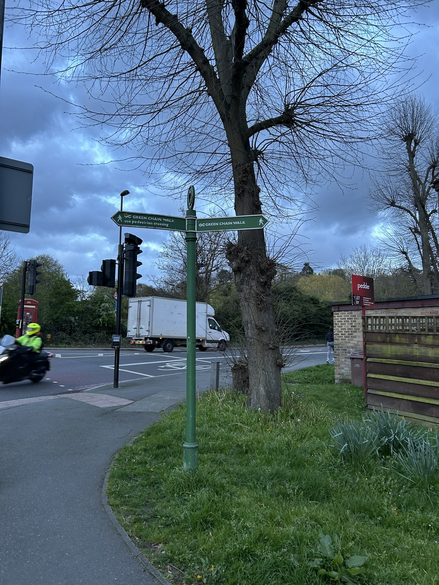
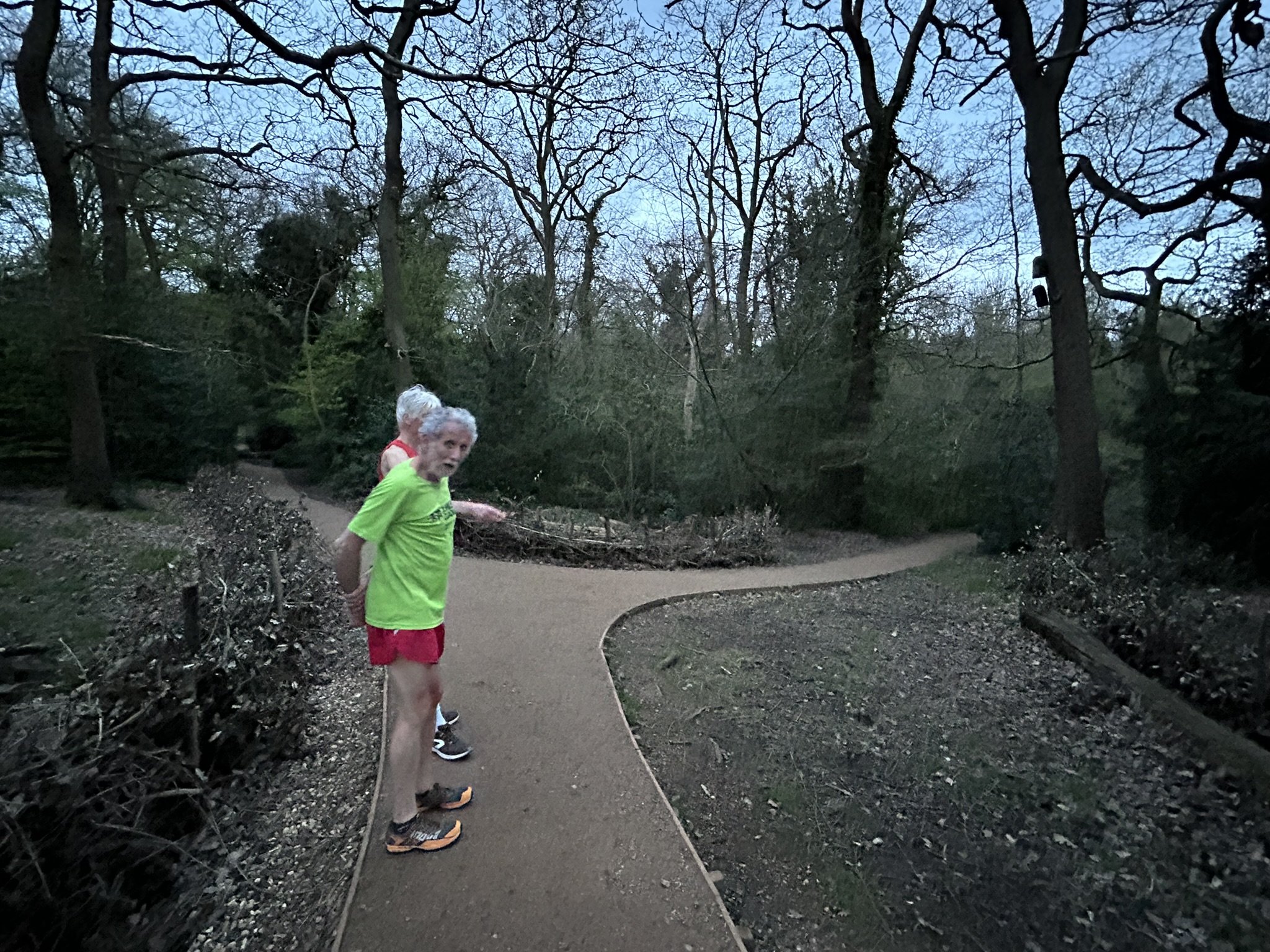
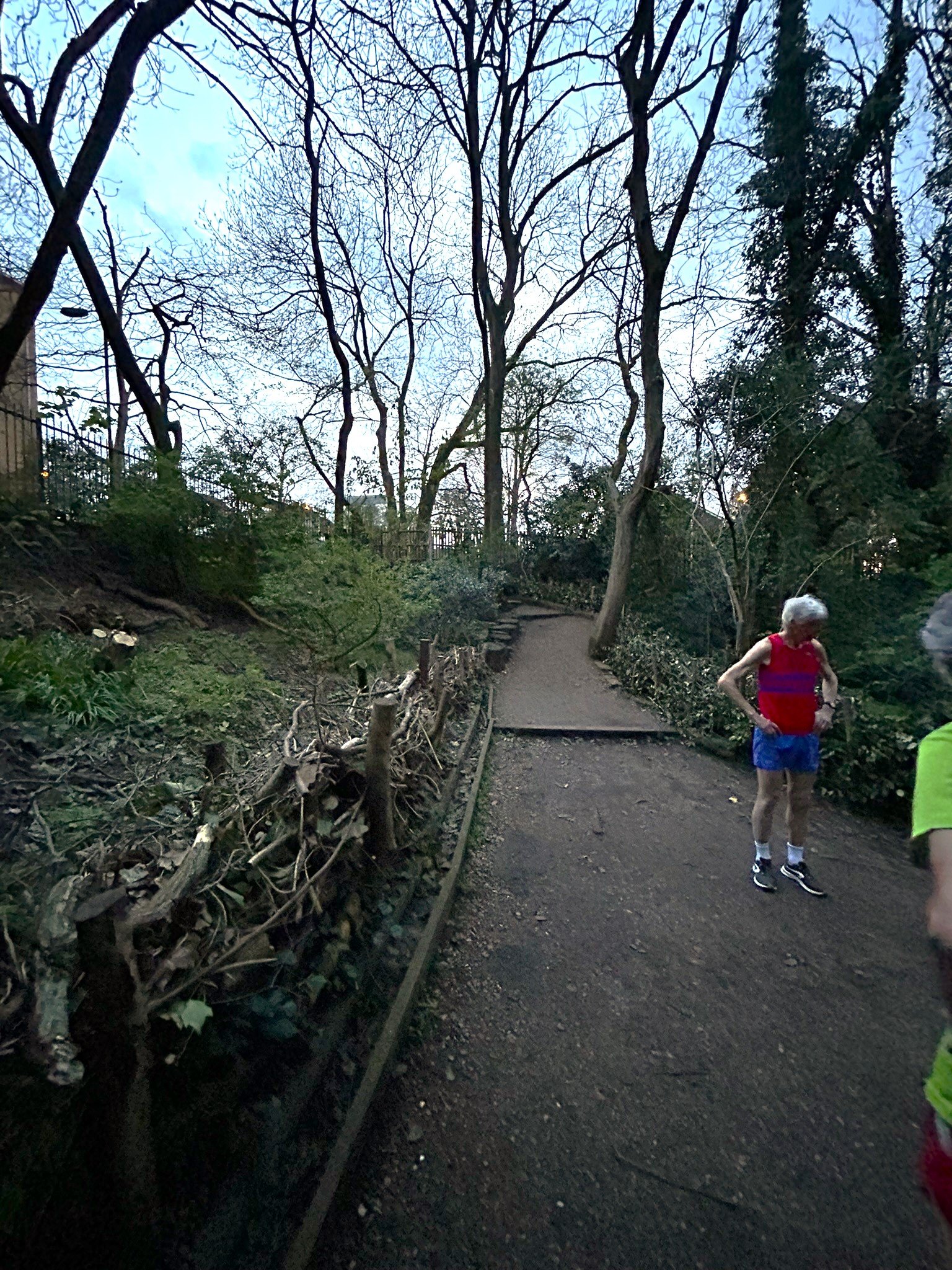
Leave the Club House and take in half of Dulwich Park before joining the A205, crossing where it is safe to do so. Take Cox’s Walk footpath up to the old railway bridge.
Alternative route in case Cox’s Walk is closed or you want a change
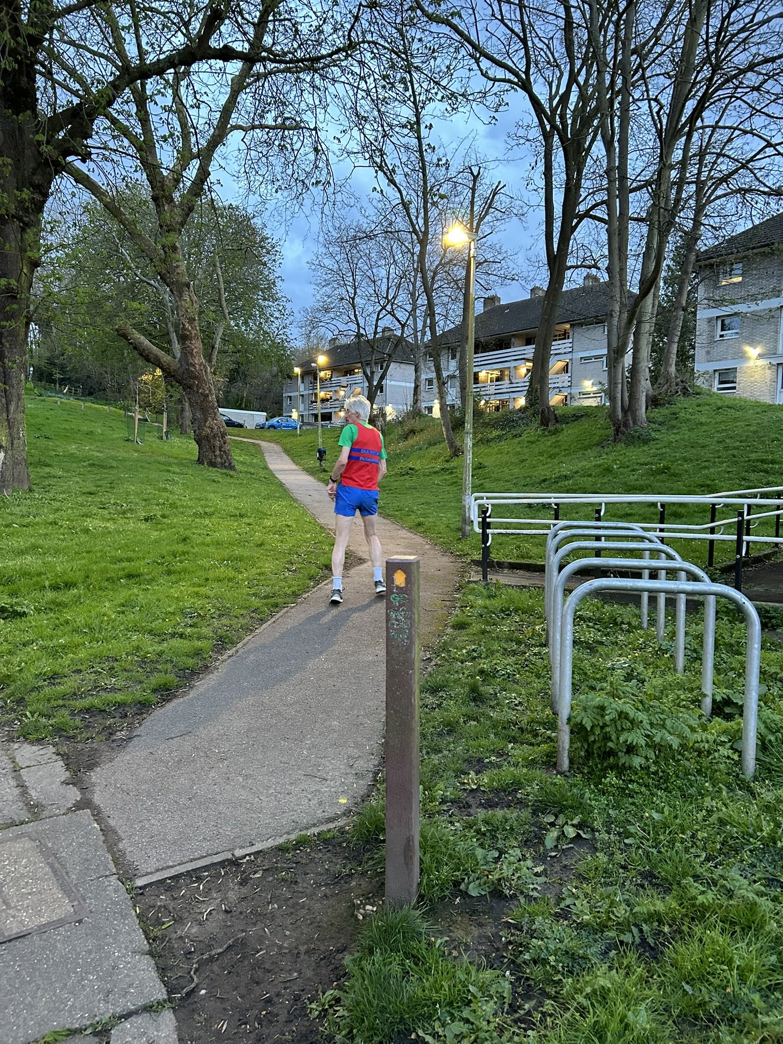
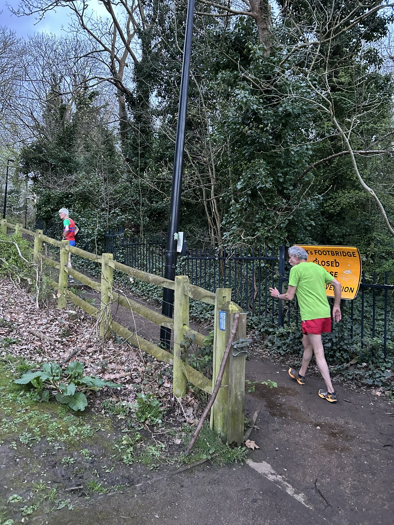
Turn right up Lordship Lane, before taking the Green Chain walk through the 1960s/70s housing estate on the site of the former Lordship Lane station. Follow this path into the woods. There is a mix of steps and path with streetlights. When you get to a fork with Cox’s walk (east side), turn right head towards the footbridge. Keep left when you get to the footbridge and you join the main route via Cox’s Walk.
For all routes
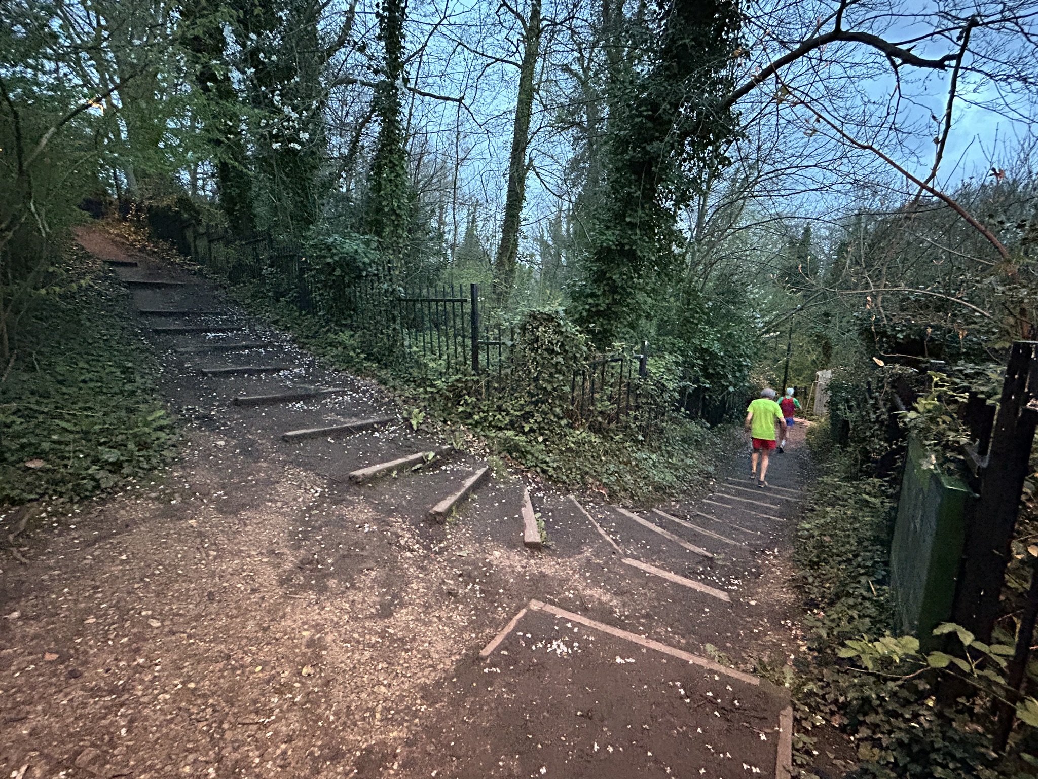
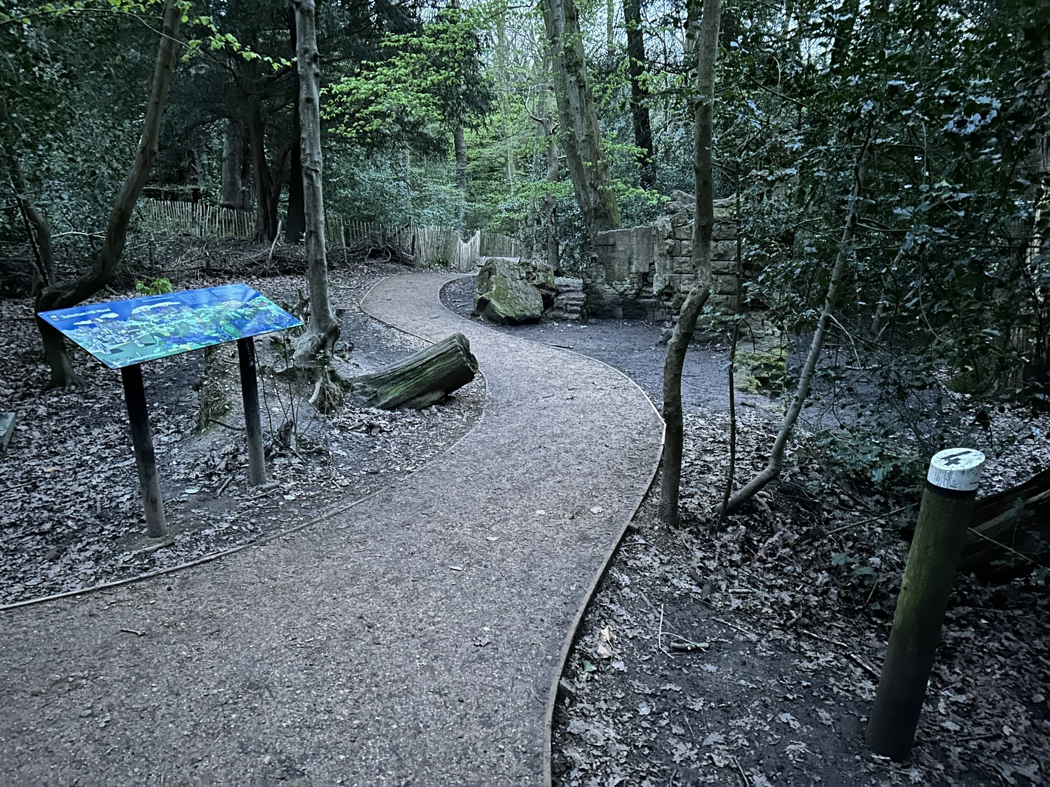
The path is then nicely surfaced and relatively flat through the woods. Keep left at the various forks (the right hand forks take you to the old railway track bed and tunnel mouth). You then have a stepped section taking you to a junction just before Crescent Wood Road (the path that joins at this stage is the alternative route over the top of the tunnel mouth).
Join Crescent Wood Road. At the junction with Low Cross Wood Lane (Hell Hill), leave the longer runs, and descend. Turn right into the woods, taking the second path on your left at the sixways junction to head down to Grange Lane. You will get a glimpse of a great view over London from the golf course on your right. Follow Grange Lane to College Road before turning right past the college playing fields. At the junction with the South Circular Road turn left (crossing at the traffic lights). Join the other routes at the entrance to Belair Park. Enter the park by the tennis courts and then follow the off road route on the western side of the park before entering Gallery Road. Then follow the route back to the Club House via Burbage Road.
https://www.strava.com/routes/12692651
Route 1B (Medium) - 7.7 miles / 12.4 km - 164m elevation gain
As 1A as far as Hell Hill. Continue on Crescent Wood Road to Sydenham Hill. Head down Wells Park Road to Sydenham Wells Park. Cross Westwood Hill safely and enter Charleville Circus. Cross Crystal Palace Park Road to enter the park, following the path down towards the Penge Entrance before running around the Dinosaur Lake to Crystal Palace station. Leave the longer route at this stage. Continue up the park road to Anerley Hill, heading up the last section of hill to the Crystal Palace Town Centre Triangle. Follow Westow Hill to the junction with Gipsy Hill. Head down this road to the roundabout with South Croxted Road. Re-join the longer route, heading down Alleyn Park, around Belair Park, and then back to the Club House.
https://www.strava.com/routes/12692673
Route 1C (Long) - 11 miles / 17.7 km - 246m elevation gain
Diverting from route 1B at Crystal Palace station. Turn down Anerley Hill briefly, before taking Hamlet Road and an immediate turn down Maberley Road to reach the path to South Norwood Lake. Retrace steps and turn left to reach Auckland Road.
At Auckland Road, turn right and then go through the gate to Beaulieu Heights opposite Park Lodge. Follow path around to the left after 100m, then up hill and across open field past the brick hut. At the main road, follow Spa Close between the parade of shops to sneak through to Grange Road and the access to the Lawns. Upon reaching the next recreation ground take the opportunity to cut across the grass. Cross the undulating Norwood Park to reach the Gipsy Hill Roundabout and re-join the route of 1B back to the Club House.

Dulwich Woods